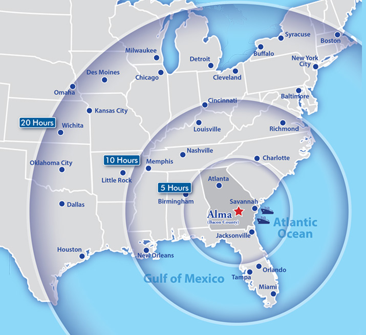
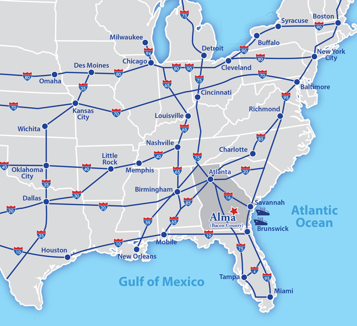
With unimpeded interstate access, close proximity to major ports, international and commercial airports, and multi-vendor utility services, Bacon County, Georgia offers an ideal setting for the manufacture and transport of goods. Bacon County’s proximity to Interstates 75, 95, 16 and 10 and the Georgia ports at Savannah and Brunswick enhance its transportation advantages, as does the fact that rail freight is readily available to Bacon County businesses. Additionally, the Bacon County Airport is equipped to serve corporate jets and private aviation.
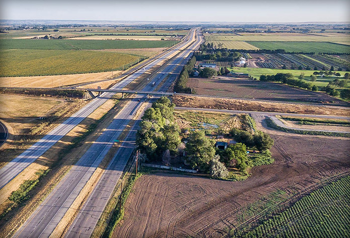
Major highways into Alma are U.S. 1/U.S. 23, which are four-lane, and GA Highway 32.
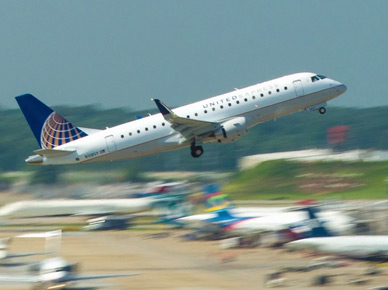
The Bacon County Airport offers a 5,000-foot, radio controlled lighted runway, open 24 hours daily. The airport has self-serve fuel, hangars, a resting facility and provides a courtesy car. Commercial airline service is available at Brunswick Golden Isles Airport (70 miles), Valdosta Regional Airport (81 miles), Jacksonville International Airport (118 miles), and Hartsfield-Jackson Atlanta International Airport (206 miles).
Port access is available 70 miles away at Brunswick, Georgia, a dedicated RoRo facility and the third busiest port in the U.S. for total RoRo cargo and second busiest for RoRo imports; 111 miles away at the Port of Savannah, the largest single container terminal in North America; and 118 miles away at the Port of Jacksonville, Florida.